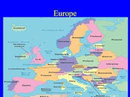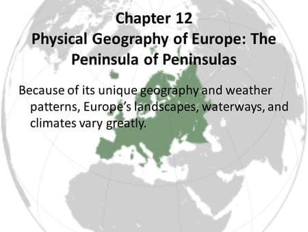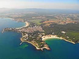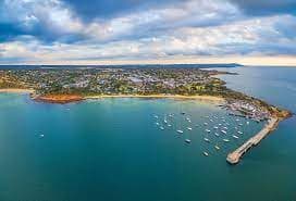
Europe is often called the "Peninsula of Peninsulas" because a large portion of the continent is made up of peninsulas that extend into surrounding seas and oceans. In simple terms, a peninsula is a piece of land that is surrounded by water on three sides, and Europe has more major peninsulas than any other continent.
The nickname comes from Europe's unique geography. The continent is bordered by the Atlantic Ocean, the Arctic Ocean, the Mediterranean Sea, the Baltic Sea, and several other bodies of water. As a result, many large land areas project outward from the mainland, creating numerous peninsulas.
Some of the most well-known European peninsulas include:
- The Scandinavian Peninsula, home to Norway and Sweden.
- The Iberian Peninsula, which contains Spain and Portugal.
- The Italian Peninsula, where most of Italy is located.
- The Balkan Peninsula in southeastern Europe.
- The Jutland Peninsula, which forms part of Denmark.
What makes Europe particularly interesting is that many of its major countries developed on these peninsulas. Because they are surrounded by water on multiple sides, these regions historically benefited from trade, fishing, exploration, and cultural exchange. Access to coastlines helped many European societies connect with other parts of the world long before modern transportation existed.
In my view, the term "Peninsula of Peninsulas" is more than just a geographical label. It helps explain why Europe has such an extensive coastline compared to its size and why maritime activities played such an important role in its economic and cultural development. When you look at a map, it's easy to see that Europe is not a compact block of land. Instead, it is a collection of large peninsulas connected to a larger landmass.
Overall, Europe earned the nickname "Peninsula of Peninsulas" because its landscape is dominated by numerous peninsulas that shape its geography, coastlines, trade routes, and historical development.
Also Read: why european countries are more developed?